New marine cartography from Garmin delivers all-in-one inland and coastal mapping, access to daily chart updates, and more to Garmin chartplotters.

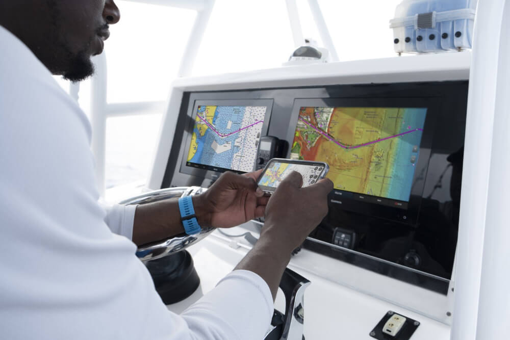
Garmin Navionics+ and premium Garmin Navionics Vision+ for Garmin chartplotters, is the newest generation of marine cartography products from Garmin. Garmin cartography products offer an all-in-one mapping solution that integrates detail-rich inland and offshore content, as well as a variety of tools to support smarter and safer navigation.
In addition to unparalleled worldwide coverage, new Garmin cartography offers a myriad of features – including an all-new chart presentation, daily chart updates and advanced autorouting capabilities. It also features colour-shaded target depth ranges, free downloadable NOAA raster images2, shallow water shading and exclusive access to ActiveCaptain community content for valuable insight on points of interest (POI), recommendations and advice from fellow boaters.
A one-year subscription is included with the purchase of Garmin Navionics+ or Garmin Navionics Vision+ and offer a quick-and-easy way to sync a mobile device to Garmin chartplotters for unlimited daily updates via the ActiveCaptain smart device app.
Garmin Navionics+ and Garmin Navionics Vision+ are compatible with current Garmin chartplotters, including the GPSMAP 8400/8600, GPSMAP 7×3/9×3/12×3, ECHOMAP Ultra, ECHOMAP UHD series and more. Previous chartplotter models, such as the GPSMAP 7×2 Series, will continue to have access to updates of Garmin BlueChart g3 coastal charts and LakeVü g3 inland maps with Navionics data via download or microSD card purchase. www.garmin.com